
Know the road before you're on it
Easy-to-read state road atlases for people who travel by RV or car. Every printed fact checked against an official source, with the date it was read.
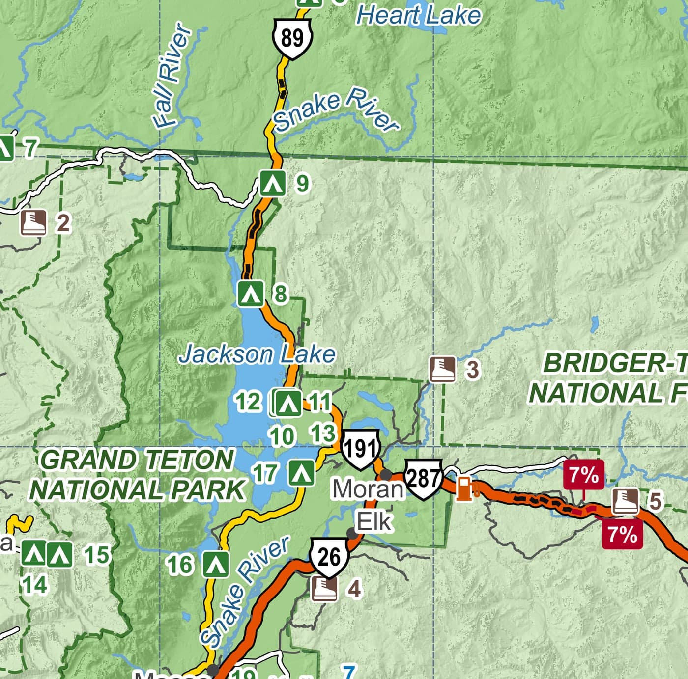
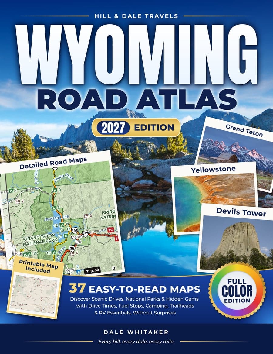
What's inside the Wyoming Road Atlas
Plan the day at the kitchen table, then leave the book open on the passenger seat. It works where the phone doesn't.
detailed, easy-to-read maps
- regional maps covering the whole state
- scenic drives, one map each
- town maps
- plus Yellowstone across two pages and Grand Teton on its own map
Legend
- A two-page Planning Map with miles between towns, pass elevations, steep grades and winter closures
- Next to every regional map, a page of services: campgrounds with max RV length and cell coverage
- On the same pages: low bridges and steep grades
- 12 scenic drives, each with miles, driving time, usual season and where to fuel up
- 36 places worth the detour, a directory by region and an index of 300+ places
Road notes
All road notesTrip questions answered with the official source next to every fact: pass seasons, RV limits in the parks, fuel on the long stretches.
The first road notes are on their way.
One atlas per state, one design
Once you know how to read one Hill & Dale atlas, you know them all. Wyoming is the first; more states are being mapped.