
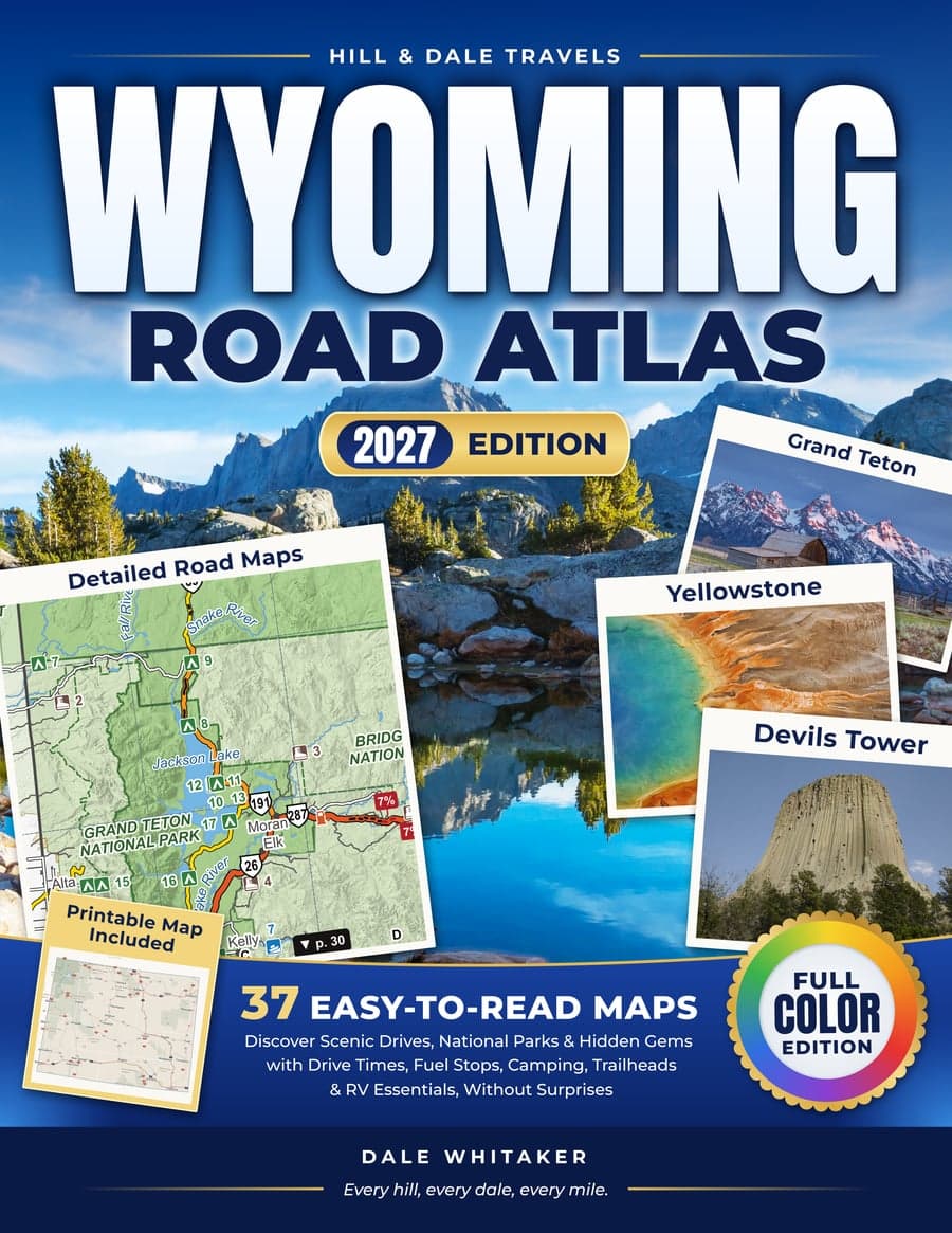
2027 Edition · Paperback, 8.5 x 11 in, full color
Wyoming Road Atlas
Easy-to-Read Maps to Discover Scenic Drives, National Parks & Hidden Gems with Drive Times, Fuel Stops, Camping, Trailheads & RV Essentials, Without Surprises
Coming soon on Amazon
Printable map included
Inside the book, a QR code leads to the Wyoming Trip Planner Map: the whole state on one sheet, to print at home on 11 x 17 paper or at a copy shop on 24 x 36.
Made to be read on the passenger seat
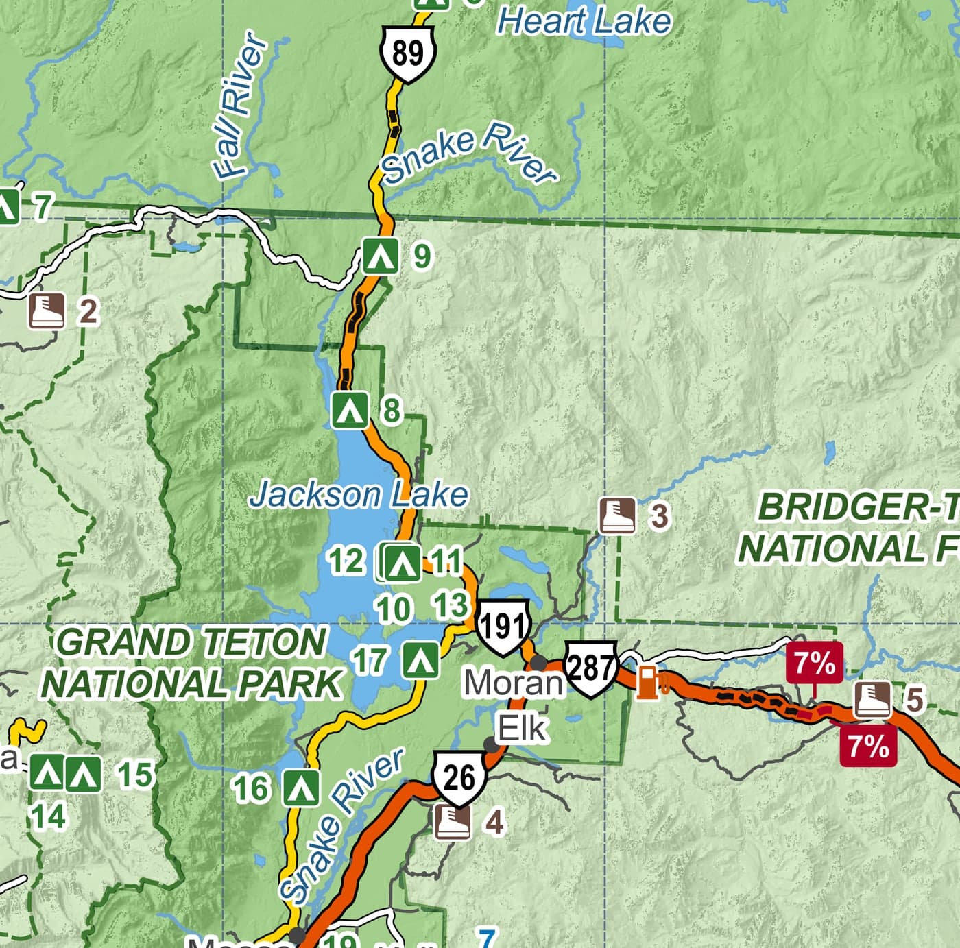
High-contrast maps, large labels and the same symbols on every page. Campgrounds are numbered on the map and listed on the page next to it, with the longest RV they take.
The maps work where the phone doesn't: on the long stretches between towns, in the parks, over the passes.
What's inside
detailed, easy-to-read maps
- regional maps covering the whole state
- scenic drives, one map each
- town maps
- plus Yellowstone across two pages and Grand Teton on its own map
Legend
- A two-page Planning Map with miles between towns, pass elevations, steep grades and winter closures
- Next to every regional map, a page of services: campgrounds with max RV length and cell coverage
- On the same pages: low bridges and steep grades
- 12 scenic drives, each with miles, driving time, usual season and where to fuel up
- 36 places worth the detour, a directory by region and an index of 300+ places